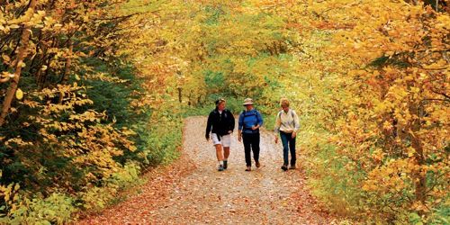
Top 10 Country Walks in New England
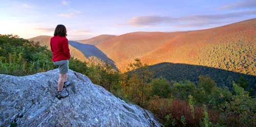
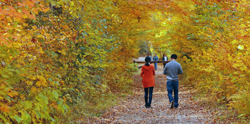
Along the seashore or in tall mountains or deep woods, New England has many beautiful walks and hikes that take you deep into nature's beauty. People of all ages can explore and enjoy nature on a family vacation or getaway. Walking in New England countryside or towns or cities is a pleasure year-round, but we all know a very special time is when fall foliage lights up the place with brilliant colors.
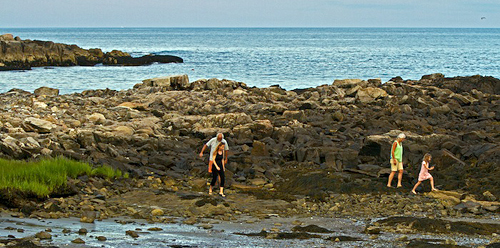
Maine -- Marginal Way
Off Perkins Cove road north of Perkins Cove Ogunquit, ME Phone:
Maine -- Rachel Carson National Wildlife Refuge
321 Port Road Wells, ME, 04090 Phone: 207-646-9226
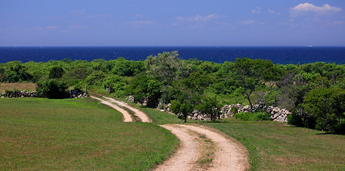
Rhode Island -- Block Island National Wildlife Refuge
End of Corn Neck Road New Shoreham (Block Island), RI, 02807 Phone: 401-364-9124
Massachusetts -- Bartholomew's Cobble
105 Weatogue Road near Rannapo Road ASHLEY FALLS, MA Phone: 413-229-8600
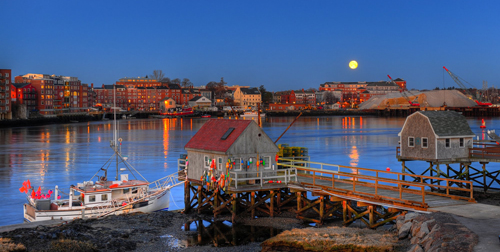
New Hampshire -- Portsmouth Harbor Trail
Market Square, Market Street PORTSMOUTH, NH, 03801 Phone: 603-436-3988
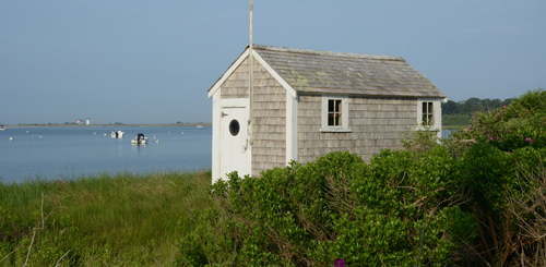
Massachusetts -- Cape Cod National Seashore Trails
Vermont -- Merck Forest & Farmland Center
3270 Route 315 RUPERT, VT Phone: 802-394-7836

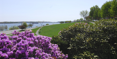
Rhode Island -- Newport Cliff Walk
Start at 117 Memorial Blvd. Newport, RI Phone: 401-845-5300
The Newport Cliff Walk is a 3.5-mile, elevated, winding path along Newport’s shoreline with breathtaking views of Narragansett Bay and the rocky shores below. The walk runs from Bailey's Beach to First Beach, with public access points at Bellevue Avenue, Ledge Road, Marine Avenue, Ruggles Avenue, Ruggles Avenue, Sheppard Avenue, Webster Street, and Narragansett Avenue. The walk skirts the edges of some of the city’s mansions, including Beechwood, Rosecliff, Marble House, The Breakers, Ochre Court, and Rough Point. The latter half of the cliff walk has unpaved sections and rugged paths. Bring a camera for the shoreline views.
Vermont -- Fire Tower and Balanced Rock Trails
Elmore State Park, Route 12 ELMORE, VT Phone: 802-241-3655
New Hampshire -- Rocks Estate
4 Christmas Lane Bethlehem, NH Phone:
Connecticut -- Breadloaf Mountain
Off Route 7 near Route 4 Cornwall Bridge, CT Phone: